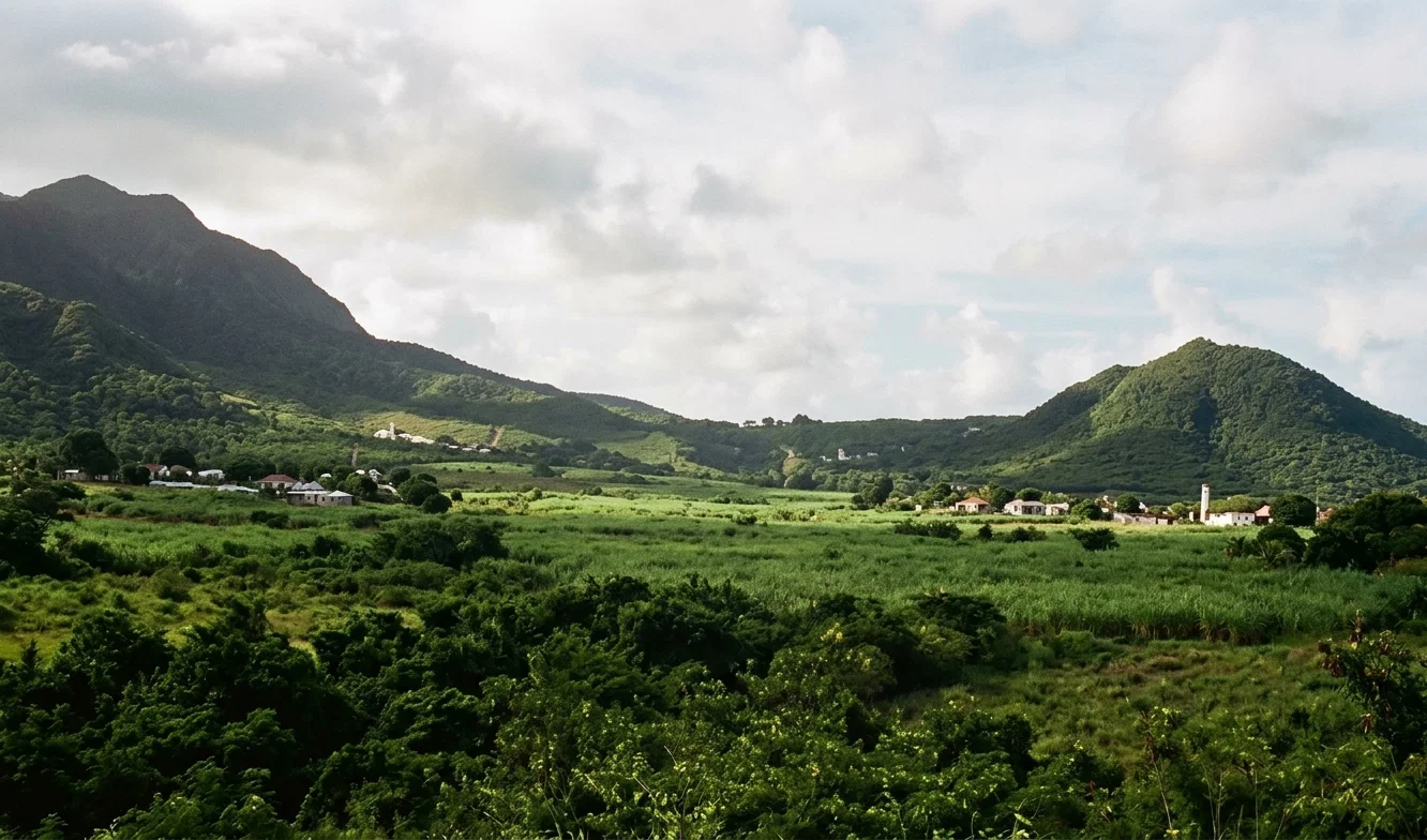
St. Kitts, or Liamuiga, “the fertile island,” as it is said to have been called by the native Caribs, is a little spot of tropical vegetation rising out of the Caribbean Sea at 62° 40′ west longitude and 17° 20′ north latitude. Close by, at its eastern end, and separated from it by only two miles of shallow waters, lies another little islet of much the same natural formation and general appearance, Nevis. These two are so closely allied physically and historically, also politically, that in writing of the one it becomes a necessity to include the other.
MONKEY HILL AND THE ST. KITTS MOUNTAINS
St. Kitts is long and narrow; Nevis almost round. Both are volcanic in formation, having at the summits of their cloud-crowned peaks, craters now inactive, but doubtless in former years the exit of the fire-laden atmosphere of the inner earth. The principal mountain in St. Kitts, Mount Misery, is forty-five hundred feet in height, and is but rarely seen, being cloud-capped the greater portion of the year. Nevis Peak, on Nevis, is thirty-five hundred feet in altitude, and it, perhaps more than Mount Misery, is continually enveloped in a cloudy covering. These two peaks are by no means the only ones, although the highest; for the very shores of these islets run up to the foot of hills and mountains, and in many parts the sea waves lash the base of the mountains themselves. Yet, in spite of this, halfway to their summits grow in great profusion and natural beauty fields of sugar cane. It was from this luxuriant tropical verdure that the Carib tribes gave to the island the cognomen “fertile.” And this name applies here perhaps more than to any other tract of land among the West Indian Islands, unless it be Barbados. No other has such fertile fields and beautifully clothed hillsides, and none can compare with it in the combination of its cultivated and natural beauties.
St. Kitts is twenty-three miles long and five wide, running in a northwesterly and southeasterly direction. The main body is oval in shape, but toward the southeast tapers to a narrow isthmus, from half a mile to a mile in width, and finally at its extreme southeast end widening to two miles. Basseterre, the capital, lies on the southern side of the island, and its roadstead, for it has no harbor, properly speaking, is formed by an inlet about two miles in breadth and half a mile long, where the sea runs into the land.
Beyond Basseterre, southeastward, following the narrow neck, among the conical hills thickly studded with bush lies a salt pond two miles in circumference, from which at certain times of the year large quantities of pure salt are gathered. Beyond these low hills which surround it is the Narrows, and beyond the Narrows, Nevis. This island, like St. Kitts, is cultivated far up the slopes of the mountains, which above are heavily wooded. The capital, Charlestown, is on the southwestern side, about twelve miles from Basseterre. Both capitals are sleepy little places of no great size, lying on the shores of their respective islands, boasting of very few houses, properly so called, mostly the shanties of the poor laboring classes. In days past the richer part of the population lived in their manor houses on the plantations. Many of them, old and decaying, may be seen to-day studding the slopes of the mountains. Long ago their owners left these estates in the charge of others, and returned to England. Thus the places that in former years shone in colonial grandeur, are to-day decaying, and are but a shadow of their former selves.
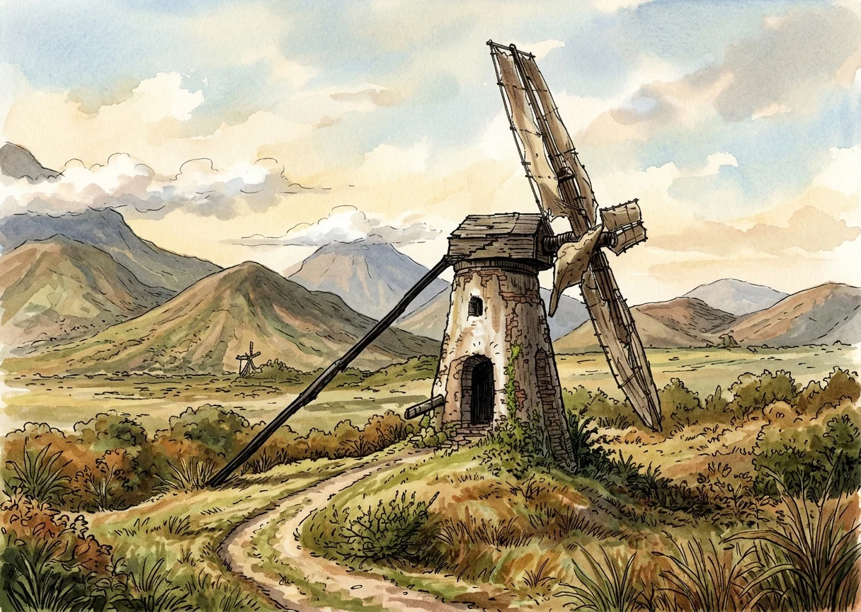
On nearly all these estates can be seen what remains of the old wind cane mills, in all stages of decay; while here and there throughout both islands there is still one of these monuments of the good old times doing faithful service by the aid of Caribbean breezes. Most, however, are but stone towers molding slowly into ruins, the upper woodwork rotted away, and the long arms lying in decay at the foot of the tower. In their places stand to-day on the larger estates the steam mills, with their ungainly sheds, their stone chimneys, or worse, iron ones, breaking the former beauty of this once prosperous land,—the marks of “progress,” but the implements of doom.
AN OLD-TIME CANE MILL
Come with me for a ride around both of our little islands. Starting at Basseterre, we will go northward across St. Kitts, here passing a field of full-grown cane, there a field only just in early days, and again a field where the ground is being prepared. On every side are seen evidences of decay in buildings long out of use, or, perhaps, by their side those of more modern pattern. Passing through the valley between the low hills of this isthmus, we come out upon the north shore, which skirts it closely about one hundred feet above the beach. To the northeast lies the broad Atlantic, and to the north in the dim distance lie the little islets of St. Martin’s and St. Bart’s or St. Bartholomew, whose mountain crests rise in hazy outline above the ocean’s bosom. We pass quickly along the north shore through the little villages of Cayonne, Nickola Town, past cane fields and plantation houses, past hillsides rich in the verdure of the everlasting summer, to the town of Sandy Point, the former English capital of St. Kitts, when she shared the little colony with the French, whose capital was the present town of Basseterre. In this once prosperous village, sleeping in the neglected solitude of the forgotten past, are found many of the old fortifications which in former days did service against the ruthless French, who more than once turned from professed friendship to open murder and rapine. Brimstone Hill, on which is located the grand old fort and citadel of those days, must have been a veritable Gibraltar to them, standing alone as it does, a single, stately eminence rising almost perpendicularly on all sides from the gentle slope which predominates here. On every side one beholds the past revealed, at once interesting and mysterious.